
Reality Capture for the Built EnvironmentHigh-Accuracy.
Field-Verified.
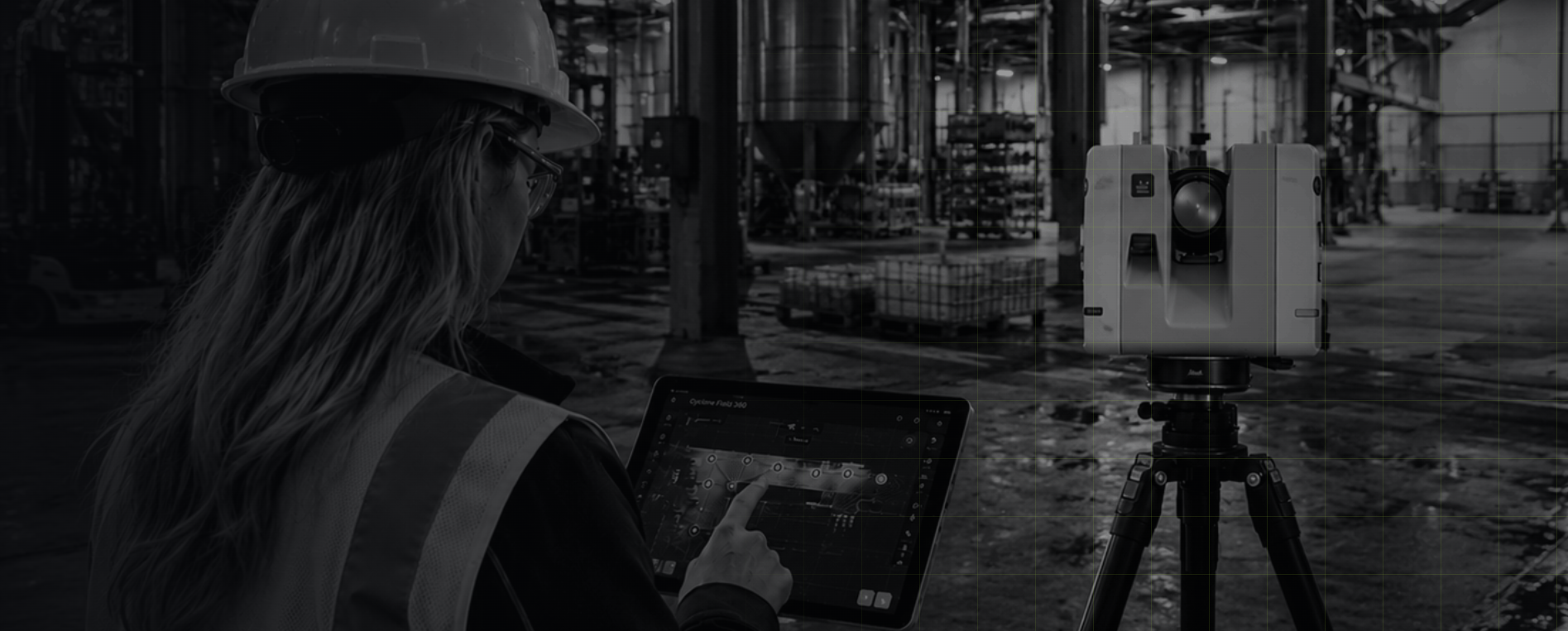
MW Site specializes in precision 3D laser scanning, delivering existing conditions documentation and spatial analysis for projects across Ontario using the Leica RTC360 and Cyclone 3DR.
FIELD-READY FOR ACTIVE INDUSTRIAL SITES

WORKING AT HEIGHTS

CONFINED SPACE AWARENESS
WHMIS
FIRST AID & CPR
MOBILE ELEVATED WORK PLATFORM (MEWP)

LEICA RTC360

TERRESTRIAL LASER SCANNER
CYCLONE 3DR
REALITY CAPTURE SOLUTIONS
LIDAR
HIGH-PRECISION SCANNING

POINT CLOUD
ACCURATE. DETAILED. ACTIONABLE.
OUR CAPABILITYSee the world
as it really is.
We capture precise, reliable data and turn it into intelligent deliverables that reduce risk, improve decisions, and keep your projects moving forward with confidence.
Sectors We ServeBuilt for the work that builds the world.
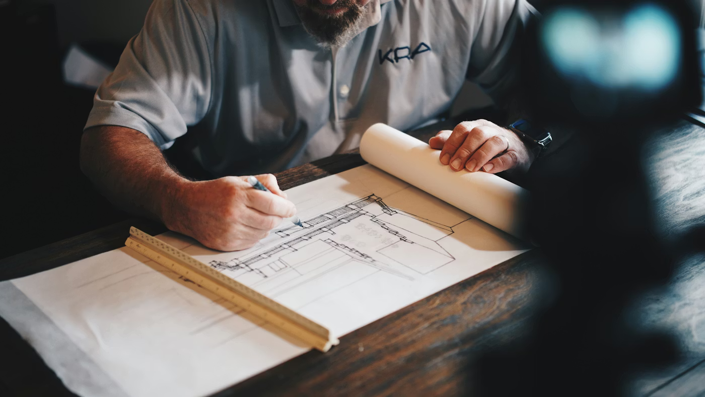
AEC
As-built and existing conditions capture
Construction progress documentation
FF/FL analysis
Verticality and plumb assessment
Clearance and tolerance checks
Cross-sections and site profiles
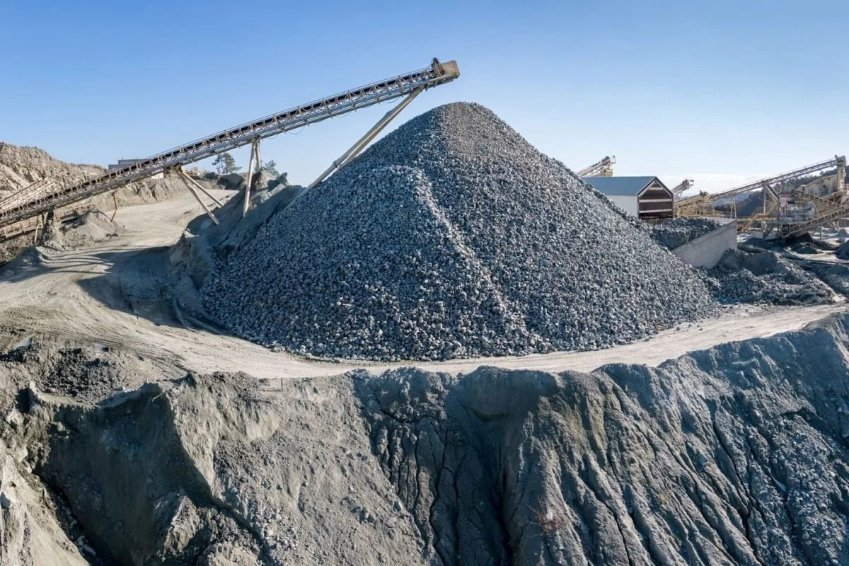
Quarries & Aggregates
Stockpile volumetrics
Pit progression tracking
Cut and fill analysis
Highwall deformation monitoring
Haul road condition assessment

Facilities and Property
Pre-renovation capture for design and planning
Facility and asset documentation for operations and maintenance
Conditions verification following alterations or construction
Property documentation for acquisition, leasing, or due diligence

Municipal and Infrastructure
Municipal facility and building documentation
Infrastructure asset condition capture
Clearance and deformation assessment
Site and roadway condition documentation
Our PROCESSFrom capture to deliverable.

CAPTURE
High-precision laser scanning with advanced LiDAR and imaging systems.
PROCESS
Raw data is cleaned, registered, and processed into accurate point clouds.

ANALYZE
We extract insights, measure, and validate your site data

DELIVER
Actionable deliverables in the formats you need, when you need them.